Log in
All resources
Create a design
273 Free Artworks of Exploration Of The Americas
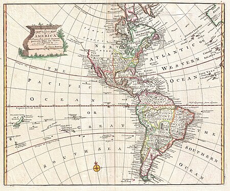
maps
united states
natural history
description and travel
discovery and exploration
indians of north america
astronomy
geology
american
language
painting
history
astronomy
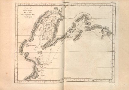
maps
astronomy
maps
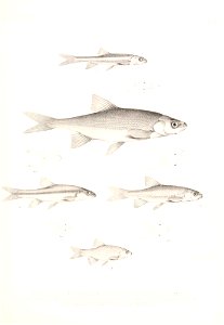
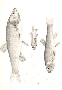
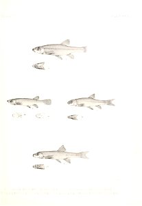
fish
maps
astronomy
maps
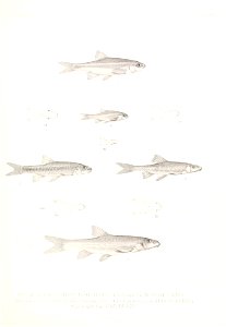
fish
maps
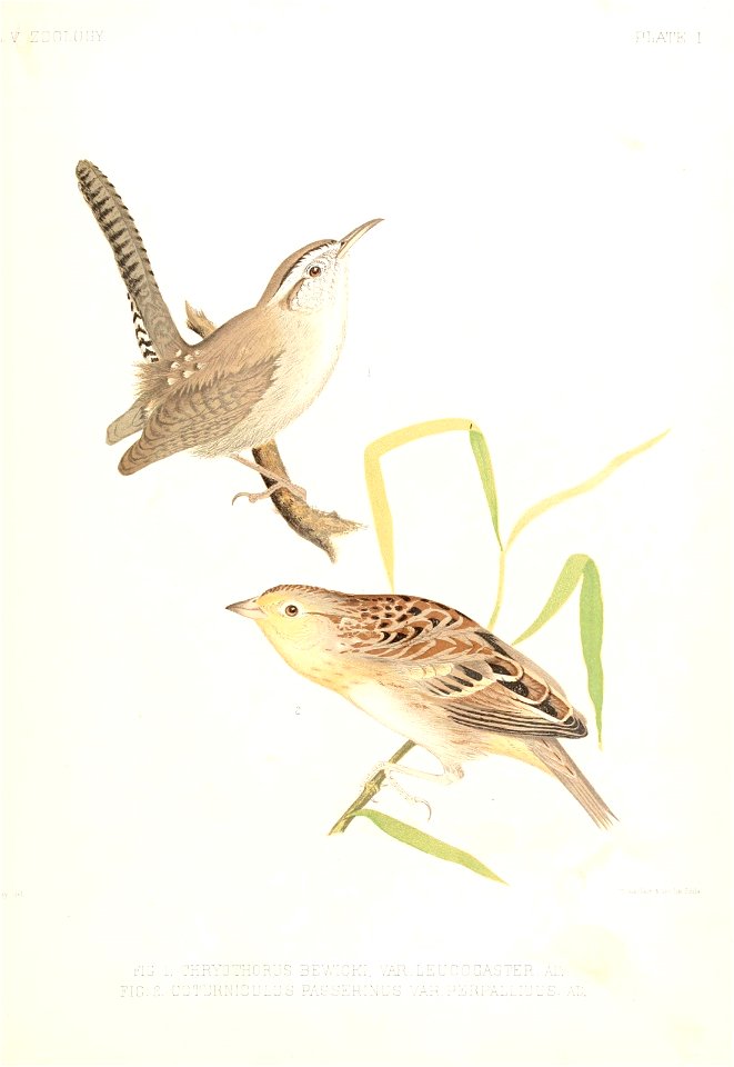
bird
maps
travel
maps
travel
maps
media contributed by university of illinois urbana-champaign university library
carte du mexique et de la floride by guillaume delisle (1703)
sir martin frobisher (cornelis ketel - bodleian libraries, university of oxford)
mannerism
bird
maps
travel
maps
astronomy
maps
united states
new
astronomy
maps
halloween
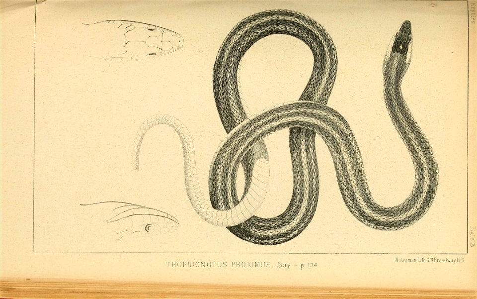
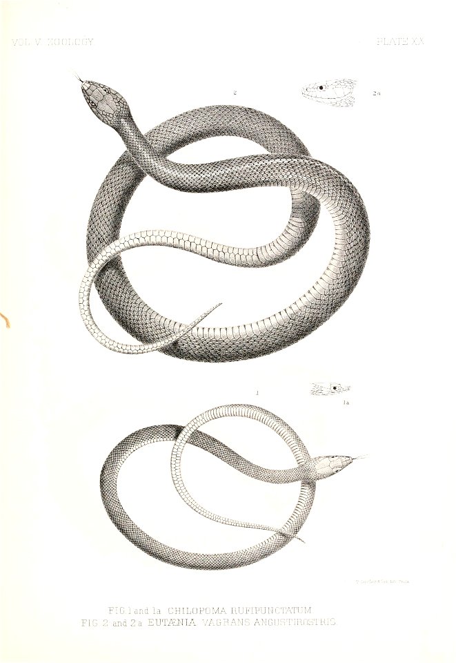
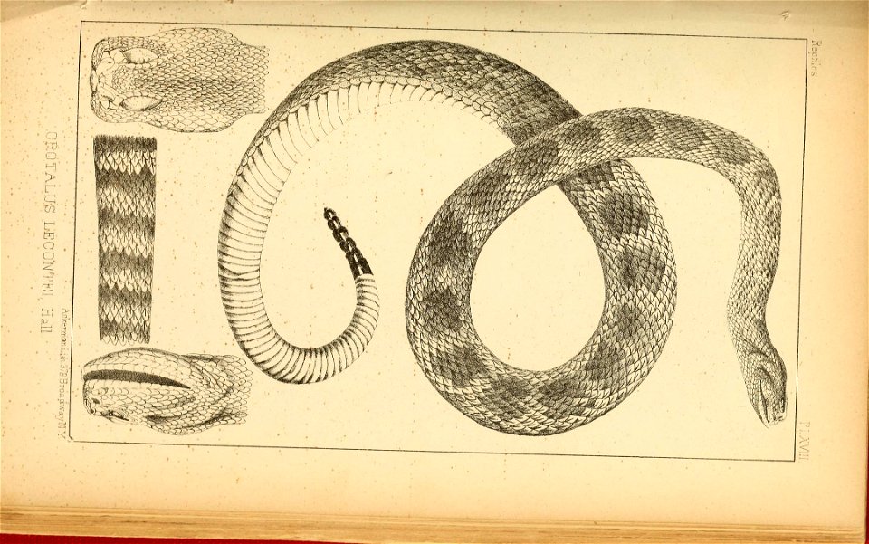
snake
portraits by federico zuccari
renaissance,mannerism
fish
maps
fish
maps
astronomy
maps
fish
maps
illustration
bird
travel
maps
astronomy
maps
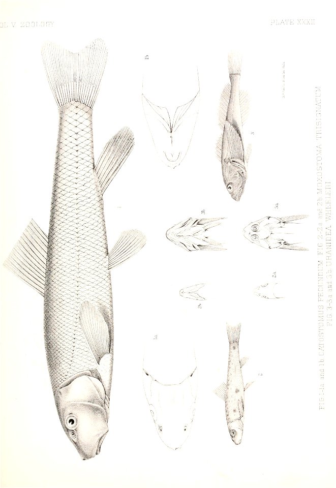
fish
maps
fish
maps
astronomy
maps
astronomy
maps
astronomy
maps
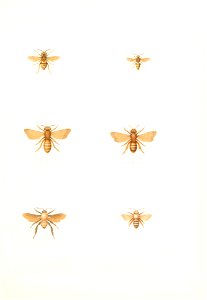
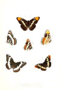
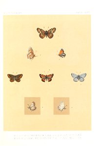
cramer and stoll:de uitlandsche kapellen volume 4
coenonympha amaryllis
portraits of men of sweden
anders sparrman
astronomy
maps
18th-century maps of antarctica
1741 maps
the generall historie of virginia (john smith)
1624 books from london
astronomy
maps
our country in story (1917)
realism
illustration
maps
1740s maps of the world
maps by emanuel bowen
cramer and stoll:de uitlandsche kapellen volume 4
pseudolycaena marsyas
1740s maps of the americas
1747 maps of north america
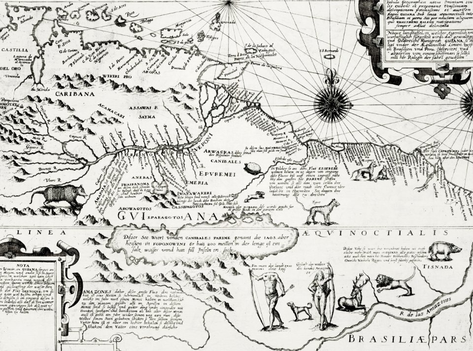
old maps of french guiana
1630s maps of brazil
naturalism
allyn cox
an evening with dolores huerta and andrew young
claudette rogers robinson
mayors of austin, texas
bruce todd
an evening with dolores huerta and andrew young
klru
mayors of austin, texas
bruce todd
cramer and stoll:de uitlandsche kapellen-aanhangsel (supplement)
parides agavus
astronomy
maps
cramer and stoll:de uitlandsche kapellen volume 4
leptosia alcesta
works by charles fenderich
charles fenderich
old maps of st. augustine, florida
john white (colonist and artist)
maps from the earth and its inhabitants, vol. xv
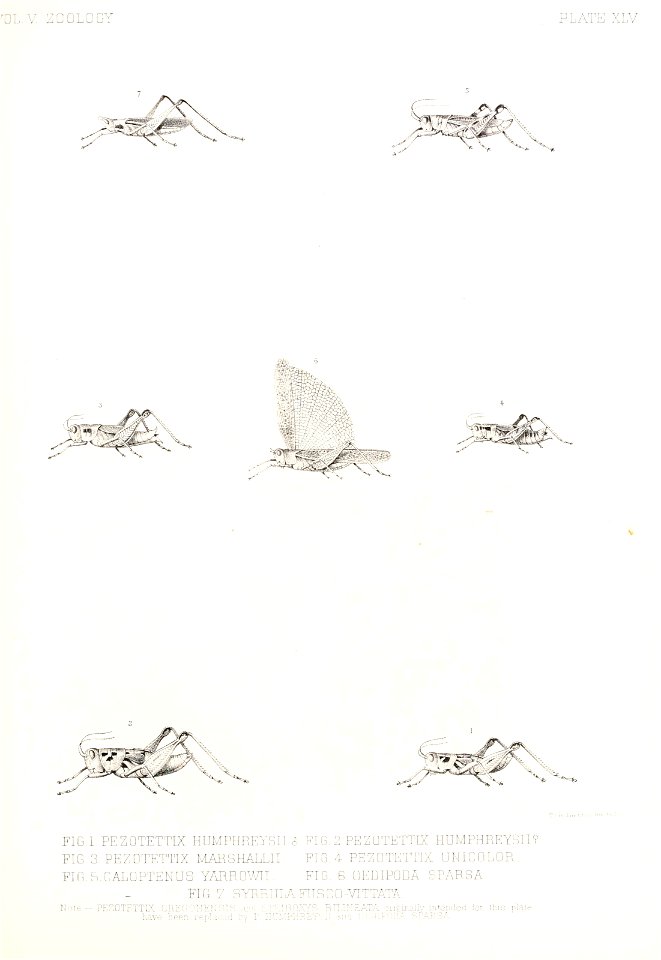
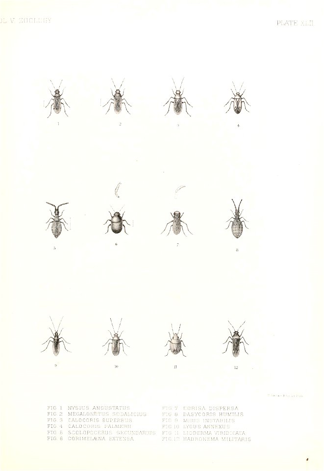
exploration of the americas
cramer and stoll:de uitlandsche kapellen volume 4
catacroptera cloanthe
american paintings in the metropolitan museum of art
dada,expressionism
18th-century double hemisphere world maps
1730s maps of the world
18th-century double hemisphere world maps
1730s maps of the world
romanticism,symbolism,romantic nationalism
photographs of akseli gallen-kallela
geocentric model
1730 maps
the generall historie of virginia (john smith)
1624 engravings
cristobal colon (ship, 1897)
allison v. armour expedition
17th-century maps of the strait of magellan
maps by willem and johannes blaeu
mappe-monde geo-hydrographique (sanson and jaillot, 1674)
cartography of france
prints by jan luyken in the rijksmuseum amsterdam
jan luyken
dutch drawings in the rijksmuseum amsterdam
jan goeree
mappe-monde geo-hydrographique (sanson and jaillot, 1674)
nieuwe reystogt rondom de werreld (1698)
william dampier
1779 maps of the united states
1770s maps of the caribbean
dutch drawings in the rijksmuseum amsterdam
jan goeree
prints by gillis van scheyndel in the rijksmuseum amsterdam
etchings in the rijksmuseum amsterdam
nicolas sanson. “mappe-monde, ou carte generale du monde.”
map of the bosphorus strait by guillaume sanson (1665)
nicolas sanson. “mappe-monde, ou carte generale du monde.”
1667 map of madagascar by guillaume sanson
medieval
maps
201 - 273 of 273
/ 3


![Canada Jays in White Oak. (Perisoreus canadensis in Quercus alba) Audubon, J.J., Birds of America [double elephant folio edition], t. 107 (1826-1838) [J.J. Audubon]](https://cdn.creazilla.com/illustrations/5580520/canada-jays-in-white-oak-perisoreus-canadensis-in-quercus-alba-audubon-j-j-birds-md.png)